Introduction
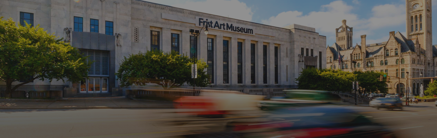
The Civic Design Center and the Frist Art Museum have partnered to create Avenues to a Great City, an exhibition that considers the history of Nashville’s built environment, including transit, public art, and neighborhood infrastructure. The exhibition celebrates the twentieth anniversary of the publication of The Plan of Nashville: Avenues to a Great City, developed by the Civic Design Center with input from over eight hundred adults and youth. Participants were asked to imagine ways to improve the quality of life in the city’s Downtown core and surrounding neighborhoods over the next fifty years.
Photographs, maps, and drawings reflecting participants’ ideas are presented here alongside artwork and images depicting Nashville’s history, recent developments, city plans, and initiatives that address many long-term goals in The Plan. Guests are invited to contribute their own ideas for what Nashville can become over the next thirty years.
The Growth of a City
“A city is a willed artifact, embodying the evolving intent of the people who live in it as they react to specific conditions. . . . And those conditions are geography and topography, climate and technology, demographics and economics, and of course, history and politics.”
—Christine Kreyling
While modern cities are carefully planned, early settlements were primarily built around access to things people need, like food and water. For Nashville, it was a salt lick that brought bison to an area near the site of today’s Bicentennial Mall. The area became a hunting ground for Indigenous Americans and was later visited by French trappers and traders. Waterways also offer essential resources, including transportation, so the Cumberland River became a center of human activity and commerce.
Nashville was founded as a city in 1779 and within decades had become a major inland port. By the early nineteenth century, streets were formalized. Running parallel to the river, Market Street (today’s 2nd Avenue) connected the original town square—where today’s Davidson County Courthouse stands on James Robertson Parkway—and the port at the end of Broadway. Other major roads, which were built to follow existing bison trails, constituted the city’s pikes leading to the center of Nashville. Regular grid streets laid out amid these naturally formed pikes and irregular topography created unique street patterns that would define Nashville’s urban experience and development.
Like many cities during the Industrial Revolution, Nashville’s center city experienced a public health crisis in the nineteenth century. Industry moved in and dwellings were converted into dense tenements for the poor; while Downtown Nashville had water and sewer lines, few people could afford the hook up. The city’s first suburbs were built so those with the means could escape the dangerous living conditions in favor of a cleaner, healthier environment.
Getting Around
Before interstates were built, one could go to work and shop for basic resources via a trolley from the early suburbs, which we now know as neighborhoods like Five Points and Hillsboro Village.
With the advent of the car, Nashville’s identity transformed. The pikes were widened, and curb cuts leading into street-facing parking lots deteriorated the experience of walking through the city. The roads into Downtown started to look like they could be in “Anywhere, USA,” and trolley rails were eventually paved over. Cars became more necessary to get around, superseding other forms of transportation and undermining freedoms even as they became associated with the American Dream. Highway construction in the 1960s–70s displaced people from their homes, disproportionally affecting Black Nashvillians, and the new highways didn’t actually minimize traffic.
A major goal of The Plan was to focus on improving connections between places as well as the urban experience in general. In 2024, the city passed the Choose How You Move program, which provides dedicated transit funding. Nashville is finally working toward a transportation overhaul that is rooted in choice—focusing on more crosstown bus connections, bus rapid transit, improved walkability, and streamlining traffic with upgraded signalization. Hopefully, this focus on connection will have positive effects on the street-level experience for us all.
Drawing Neighborhoods Together
The Plan of Nashville (2005) was modeled after The Plan of Chicago (1909), which was a successful long-term vision for the city that diagnosed Chicago’s issues and proposed convincing solutions. It was also presented extremely well to hundreds of thousands of community members, including youth, garnering political support for implementation. The goal of The Plan of Nashville was to follow this formula by engaging Nashvillians in an involved process, setting historical context and determining the city’s most critical issues. Local design and planning experts would shape these issues into core principles for which Nashvillians could advocate over the following fifty years.
To bring more attention to urban areas and address the major issue of suburban sprawl, The Plan of Nashville focused on Downtown and adjacent neighborhoods, such as the Gulch, SoBro (South of Broadway), North Nashville, and East Nashville. In-depth research on these neighborhoods, including meetings with critical stakeholders and community organizations, set the stage for two years of community-visioning workshops with over eight hundred participants.
In the mid-twentieth century, neighborhoods underwent sweeping destruction nationwide in the name of “urban renewal.” Cities and towns were originally formed at the human-scale before the proliferation of cars, emphasizing comfortable relationships between people, buildings, and street conditions. When new highways were built through neighborhoods and economic centers to maximize the amount of traffic going through the city, city design became hostile to the human scale. Plus, antithetical to the apparent goal of highways, traffic congestion immediately became a problem.
The Plan of Nashville participants called for design solutions that would reconnect communities across these barriers. The out-of-the-box solution to improve quality of life outlined a four-step process that would improve or remove interstates that cut through the urban core over the course of fifty years. While most people can’t dream of going back to a pre-interstate transportation model, many cities around the globe are taking steps to reclaim developable land through land bridges over highways, and a few are working to remove sections of ineffective highways.
Embracing the Cumberland River
The Cumberland River was critical to Nashville’s industry and commerce in the nineteenth century, but urban development treated the river like the city’s back-of-house instead of honoring it as an incredible community asset. The Plan of Nashville participants emphasized that they wanted to reconnect to the river, and a transformative vision for creating a new neighborhood on the East Bank was the result. The Plan visualized East Bank as a great place to convert a section of I-24 into a boulevard.
In 2024, nearly twenty years following the publication of The Plan of Nashville, Metro Nashville broke ground on the Imagine East Bank Plan, beginning with a new NFL stadium that will be more integrated into the neighborhood. While the interstate will not be converted into a boulevard, the Imagine East Bank Plan suggests that the city will work with state and federal partners to remove interstate entrances and exits, following one of the four steps outlined in The Plan to improve traffic flow and the pedestrian experience in the neighborhood. Other improvements will include grand civic spaces, parking lots and industrial sites reclaimed for dense housing and commerce, and greenway trails that run along the riverfront.
Neighborhood Renaissance
The Civic Design Center was born from a group of design professionals and advocates who were fighting for a more human-centered vision for the street now called Korean Veterans Boulevard. During this controversy, “SoBro” was coined to describe this vast area south of Broadway, unifying the various areas of industry, government buildings, and interspersed residences. SoBro became the center of a major community conversation to create a cohesive redevelopment vision for the area in the late 1990s that continued in The Plan of Nashville.
The Plan imagined SoBro as a future transportation hub with sweeping boulevards that would replace I-65. It called for creating much-needed public space and improving walking and biking connections along the river all the way to Fort Negley. The Plan also highlighted the importance of diverse housing options and services that could support the unhoused population. Since The Plan was published, the area’s growth has been unprecedented, and much of what was envisioned in the book is in progress. Korean Veterans Boulevard is a vibrant street for visitors with a beautiful roundabout terminus; the thermal plant was converted to a thriving outdoor music venue on the river; major housing and office developments have been completed near Peabody Street and Hermitage Avenue; and SoBro will be the site of a new transit hub, as proposed in the Choose How You Move plan.
Stitching the Grid
In the mid-twentieth century, city planners wanted to take advantage of federal support to build an interstate, now I-40, as part of so-called urban renewal efforts. The original route for the interstate placement along Charlotte Avenue was changed because of concerns about adverse effects for homes and businesses along that corridor. However, the new plan ran through the middle of North Nashville, a historically Black neighborhood. Dates for the public hearing regarding the change were incorrectly published and only posted in white community spaces. While a lawsuit was filed that spoke out against the lack of engagement with affected community members, it didn’t convince white decision makers to change course. The resulting interstate construction destroyed twice as many homes and three times as many businesses as it would have on the original route; the destruction included 80 percent of all of Nashville’s Black-owned businesses.
Rather than convert the interstate to a boulevard as The Plan proposes in other neighborhoods, community members called to restitch the grid in North Nashville, recognizing Jefferson Street as the main historic commercial corridor of the neighborhood. Removal of I-40 in North Nashville would contribute to the economic health of Jefferson Street and be a form of reparation for the harm caused by the creation of the interstate. However, such an action could trigger the rise of adjacent home values and cause gentrification-induced displacement. Moving forward, Metro Nashville is studying new ways of revitalizing the neighborhoods surrounding Jefferson Street. For many years, the Civic Design Center has been working with stakeholders and property owners to create a Jefferson Street Master Plan.
Art Creating Place
The Plan of Nashville reimagined Downtown as if buildings and streets could be reorganized into grand avenues with sweeping views of major architectural landmarks, like the Tennessee State Capitol. The vision outlined major missed opportunities during city planning that resulted in a situation where the sightlines, or view corridors, to the Capitol are interrupted by unsightly parking decks. This lack of clear sightlines, from a planning perspective, makes it seem as if Nashville has not fully embraced its capital city identity.
Public art provides an alternative way to establish a community’s identity using sightlines. Since The Plan of Nashville was published, three major commissioned artworks have been installed at the termini of three major Downtown streets: Demonbreun Street, Korean Veterans Boulevard, and across the river from Broadway. The artworks became anchors for view corridors so that, when you see one of these civic landmarks, you know you must be in Downtown Nashville.
Artists Map the City
Maps provide a critical bird’s-eye view of a place seen through the lens of geography, topography, street grids, and landmarks. They give residents a sense of connection to the place where they live and visitors directional guidance. In this section, artists’ interpretations of place are inspired by the abstract qualities of maps, suggesting the dynamism of the neighborhoods they depict.
Youth Perspectives
One aspect that made The Plan of Nashville special was the active engagement of youth in the process. This was inspired by The Plan of Chicago, whose creators modeled an educational civics program from their plan to instill in youth the importance of planning cities. The Civic Design Center has deepened its engagement of youth over the years, with two programs—both in and out of the classroom—teaching design thinking and centering young people’s ideas in shaping our city.
One recurring student art project hosted under the Civic Design Center is the Transit Art Project, part of the Design Your Neighborhood middle school curriculum, which focuses on positive neighborhood identity reflected in public transit. Advertisements on buses, bus benches, or other public transportation facilities can be negative or predatory, so the Transit Art Project allows students to use these spaces to bring positive messages directly to their community. Youth learn about the importance of public transit and identify unique characteristics of their school’s surrounding neighborhood. Other initiatives include local artists engaging youth in creating neighborhood transformation through community murals.